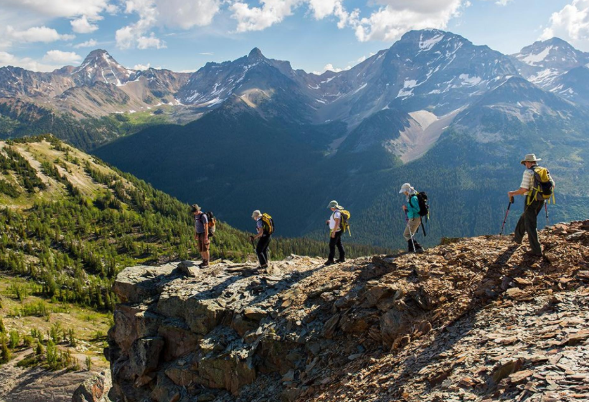
The tips for practicing a safe mountain activity have been repeated on this website at every step we take. The message PLAN + TEAM + ACT is our hallmark and we are convinced that if we all follow these steps and become aware of what we propose there would be many fewer accidents. Outdoor GPS tracker, map and compass are part of the equipment that we should always carry in our backpack and have on hand.
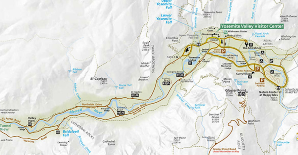
After deciding on the activity, it is time to equip yourself for it. Previously we have already told you where you can look for information to prepare a route. To look for the previous information but also to follow the itinerary once we are on the ground a map of the area is a fundamental tool.
Compass, well, if we carry a map, we should carry a compass: with it we ensure that we can orient the map correctly and interpret it without errors. GPS, does it take so much? Yes. Nowadays, many hiking trackers works combined with smart phones via Bluetooth. Group members can share real-time location even when there’s no cellular service. Why not take advantage of it if it results in our security?
Map – the Essential Companion
The map shows its usefulness before and during departure. Your query allows you to search for information on the itinerary, while its correct interpretation on the ground will be key to knowing at all times where we are, how much is left until our next objective, what alternatives we have, what type of road sign we will follow, what pending we have to overcome, what are the geographical accidents that surround us and await us, etc.
First of all, we must know that the appropriate scales of the hiking maps must be 1: 40,000 or 1: 25,000. The scale indicates the mathematical relationship that exists between the distances represented on the map and reality, so that, on the scales mentioned, 1 centimeter is equivalent to 400 or 250 m, respectively, with 1: 25,000 being the most detailed of both. Smaller scales (with greater denominator and, therefore, less detail) will be less or less useful in hiker use since they offer much less detail of the peculiarities of the relief.
This is, without a doubt, the first step in obtaining all the data provided by the map, information that must be learned to decode so that the interpretation of the terrain from the plane is correct.
Among the elements to be familiar with are the contours. These are conventional lines that represent the relief on a plane joining land points located at the same height. The equidistance between contour lines is 10 m on the 1: 25,000 scale maps and 20 m on the 1: 40,000 scale maps. In addition, every 5 contours a thicker master line appears, indicating the dimensions every 50 or 100 m, respectively.
The colors also contribute to the ideal representation of reality: greenish for the low areas and with vegetation; less intense, brown or grayish colors, as height is gained; stronger colors for high and steep areas; and the blue always indicative of water.
The legends that accompany the map will help us interpret the rest of the symbols that appear on the map: roads, paths, houses, fountains, towns, buildings, power lines, etc. Very important is to know the difference between tracks, paths or paths and itineraries without a defined trace, from the thickness and the layout of lines that represent them. In addition, the maps for the practice of mountaineering include roads with specific signage, such as GR and PR and the network of Natural Protected Areas.
What if I don’t know how to interpret a map? Well, at some point you will have to learn, right? If you take it you can “play” with it, ask a partner to help you interpret it or leave it directly for him to do the interpretation.
Not knowing how to read a map should never be a reason not to carry it, on the contrary! The sooner we become familiar with the maps, the sooner we will understand them. In that sense, never miss the opportunity to teach reading to maps to the less skilled people of the group, since with this you will be giving them autonomy and they can participate in decision making. If they are children, consider it as a game, so in addition to learning they will have fun!
Compass – Never Hurts
A compass occupies nothing and weighs even less. It will allow us to correctly orient the map and avoid erroneous interpretations of the map by having it disoriented. If you have a lot of practice or are a good connoisseur of the area you may know how to orient the map without a compass, but if you are not so expert in map management, a foggy day surprises you, or according to what more uniform terrain and losers the compass It is essential not to be mistaken when guiding and interpreting the map.
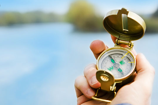
If nothing else is indicated, the head of the map is the North and the bottom, the South; therefore, to the right is the East and to the left, the West. A grid of meridians (NS) and parallels (EO) compartmentalize the plane, where the sides of the squares they form usually correspond to 1 km. At the ends of each of these meridians and parallels there is a reference numbering that indicates our longitude and latitude, respectively, something useful in case you need a rescue. The coordinates . Two different coordinate types may appear on the maps, Geographic coordinates and UTM coordinates. Getting familiar with these two systems will allow you to obtain your exact position on the map to be able to communicate it to the rescue bodies in case of emergency.
To orient the map, we will place the compass as horizontally as possible, turning its base so that the direction arrow on it points to the North, and making it coincide with the compass needle that always points to the North. It is important not to have magnets or metal objects nearby that can deflect it. Once the compass is oriented, we will put it on the map and we will rotate the map until the meridians (North) of the map are parallel with the North of the compass.
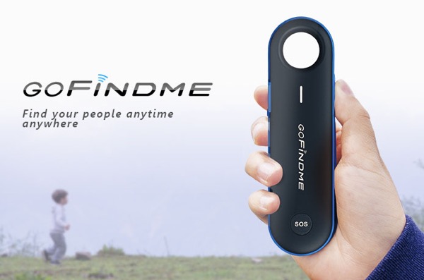
GPS Tracking Device – Never Lose Anyone
Carrying the GPS and, of course, knowing how to use it, will allow us to know our position (our coordinates) exactly and to be able to “put it” on the map, in case of being lost or disoriented. It will also allow us, if we have been careful to load a track before (the sequence of coordinates that make up a route), follow it and know how much time or distance we have left to reach the destination.
Also read, Best Personal GPS Trackers with No Monthly Fee in 2019.
In foggy or night situations, the GPS allows us to see our position on a map at all times (as long as we carry these preloaded maps), helping us to follow the route and finish it. In these cases the GPS can play a fundamental role, allowing us to follow the path as if they were taking us by the hand, although for that really to be the case we must first have loaded the information to the GPS and we must be very skilled in its handling.
Of course, GPS is technology and technology we already know that sometimes it fails: it runs out of batteries, it blocks, it becomes “dumb”, it breaks… So we should never take as the only option to orient us a GPS, it should always be a complement to the map + compass.
Bottom Line
Each year the campaign carries out a cartographic edition of those areas of the mountains that more visitors receive, in the form of excursion brochures. They are free for visitors, walkers and mountaineers, and are distributed through the Campaign Volunteer Network, so do not hesitate to visit them and request them.

Follow itravelnet.com